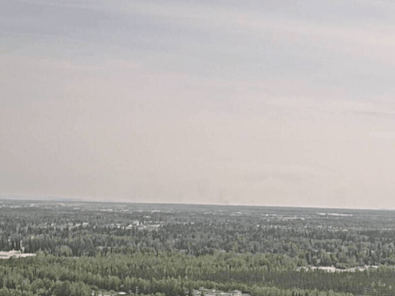
The 2024 fire season is underway with numerous active fires in the Interior and western Alaska. Smoke has been affecting air quality in the Fairbanks area in recent weeks and some fires are visible from the UAF Campus. Our panorama camera captured the formation of a flammagenitus cloud, also known as a pyrocumulus, in the smoke plume of the McDonald fire on June 19. As the name flammagenitues implies, fires can produce clouds! The heat of the fire produces convection and updrafts, which can lead to cumulus clouds as the warm air rises. Sometimes these clouds even produce precipitation that extinguishes the fire. On the other hand, strong winds in the convective updrafts and related near ground gusts can exacerbate the fire.
View of the McDonald fire smoke plume and pyrocumulus from the UAF West Ridge campus on June 19
The animation on the right shows the smoke plume of the McDonald fire on June 19 (2 pm to 8 pm, one image every ten minutes) as seen by our panorama camera at the UAF West Ridge Campus in Fairbanks. A pyrocumulus originating from the plume forms and collapses repeatedly during the approximately six hours shown in the animation.
For up to date information on active fires and smoke conditions, see our forecasts at smoke.alaska.edu
Pyrocumulus formation over the McDonald fire as seen from Fairbanks
We use cookies to ensure that we give you the best experience on our website. If you continue to use this site we will assume that you are happy with it.AcceptPrivacy policy